Services
You need it fast and you need it right. Boundary surveys, platting, construction staking, as-builts, annexations, subdivision plats — delivered with the precision and responsiveness your timeline demands.
Our Services
Your entire project depends on knowing exactly where the property starts, stops, and what's already in the ground. We define property limits, easements, and existing utilities so you can make land acquisition decisions, finalize your site plan, and start engineering — without the surprises that blow up timelines and redesign budgets. If something's buried or encroaching, you'll know before it costs you.
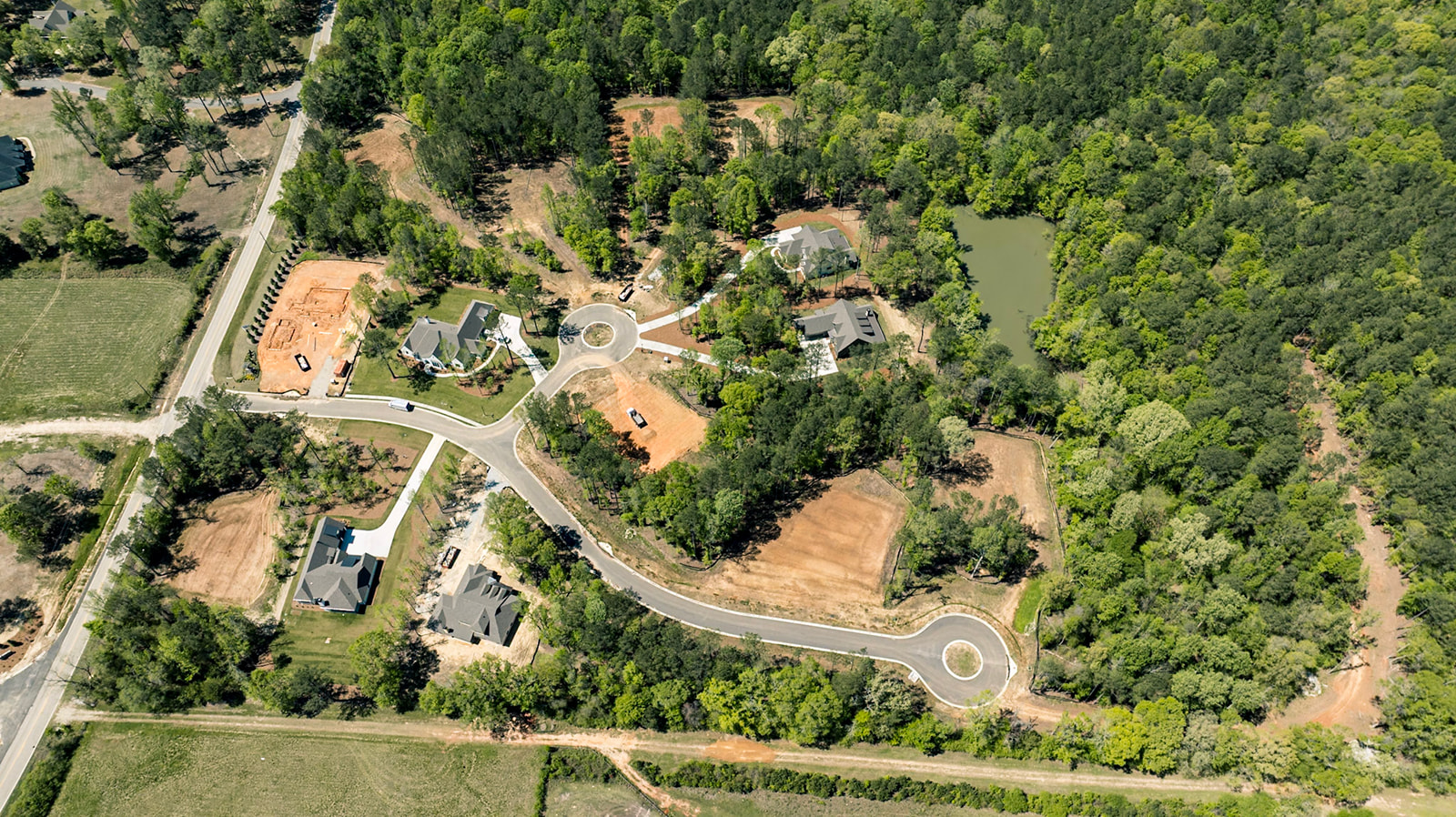
Preliminary plats establish the framework the city holds you to throughout design — it's critical that opportunities and problems are discovered at this stage to avoid costly rework or resubmittal down the road. Final plats are the actual creation of lots, and they must be correct. Our surveying and engineering teams work together through both phases to ensure there are no surprises after approvals and transactions.
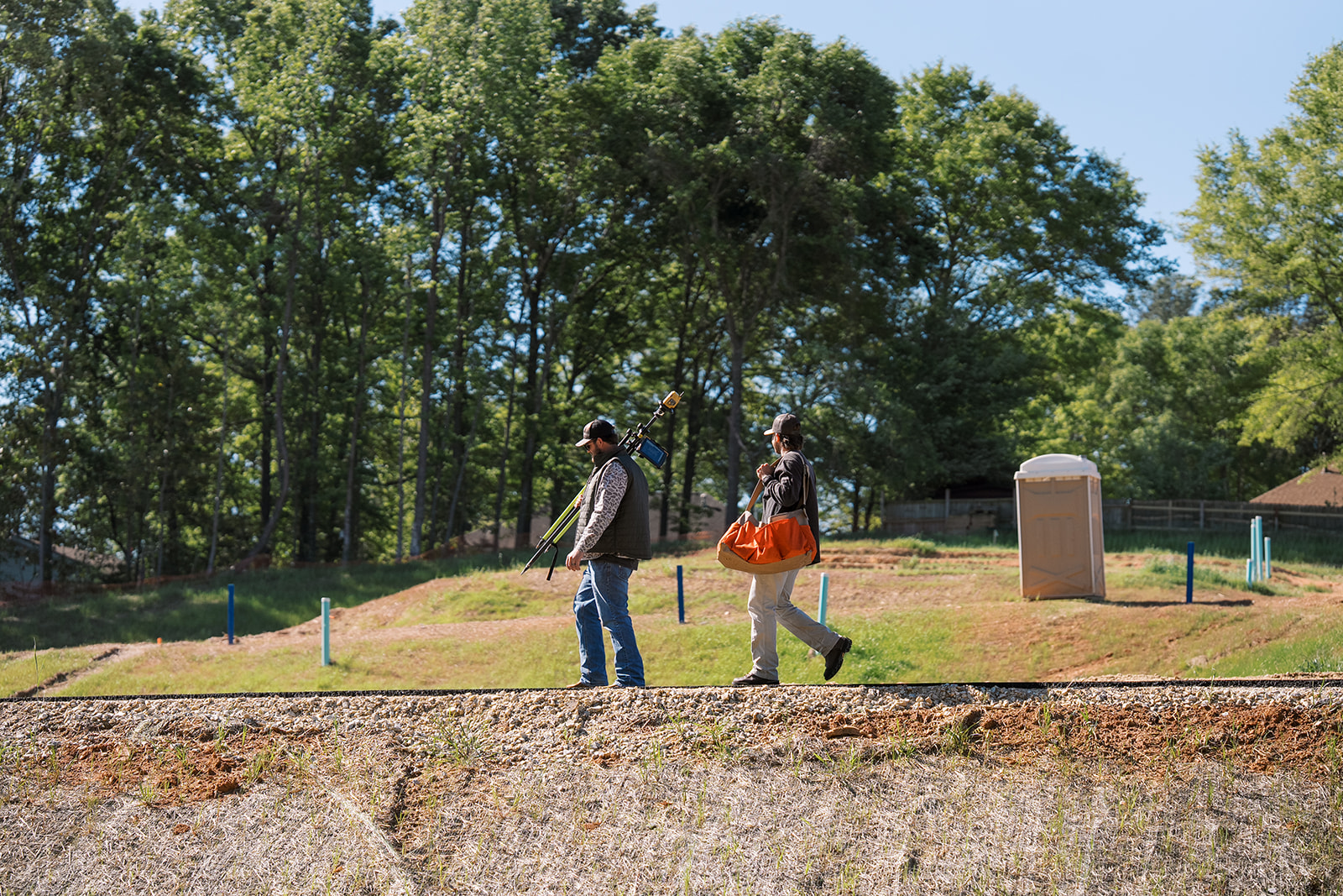
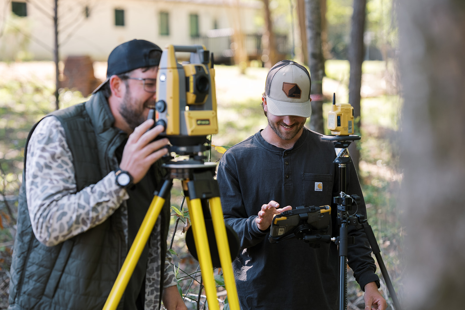
Once dirt is moving, you need a survey crew that shows up when they say they will. We provide construction staking, as-built documentation, and ongoing field control so your contractor stays on grade and on schedule. We've seen what happens when a survey crew is two weeks late — your GC is idle and you're burning carry costs. We show up.
When your builders are pulling permits and pouring foundations, they need precise buildable envelopes, setback lines, and elevation data at the individual lot level. We deliver consistent, accurate lot-level plans that prevent misplaced structures, setback violations, and costly field corrections — on a schedule that keeps your builders moving, not waiting. Your builders get clarity. You get fewer headaches during vertical construction.
Our Team
Most survey firms treat every job the same. We work exclusively with developers, which means we know what a two-week delay to a site actually costs — a pushed entitlement hearing, a redesigned grading plan, a GC who can't mobilize. Our survey data feeds directly into our engineering team's files — one source of truth, no handoff, no translation.
Meet the Team → Also need civil engineering? We do that too →Yes. A boundary survey is required before any land in Alabama can be subdivided, platted, or entitled for development. It establishes legal property boundaries, identifies easements and encroachments, and provides the foundational data your engineer needs to design the site. Skipping this step is one of the most expensive mistakes a developer can make.
An ALTA/NSPS Land Title Survey is a standardized survey that meets specific requirements set by the American Land Title Association. Lenders and title companies typically require one for commercial acquisitions and refinancing. It includes boundary lines, improvements, easements, rights-of-way, and other items specified by your title commitment. Samford Group delivers ALTA surveys across Alabama and Georgia.
Typical boundary surveys in Lee County take 1–3 weeks depending on parcel size, complexity, and research requirements. For development projects on a tight timeline, Samford Group can often mobilize within the same week. We coordinate survey scheduling with your engineering and entitlement timelines so the survey is never the bottleneck.
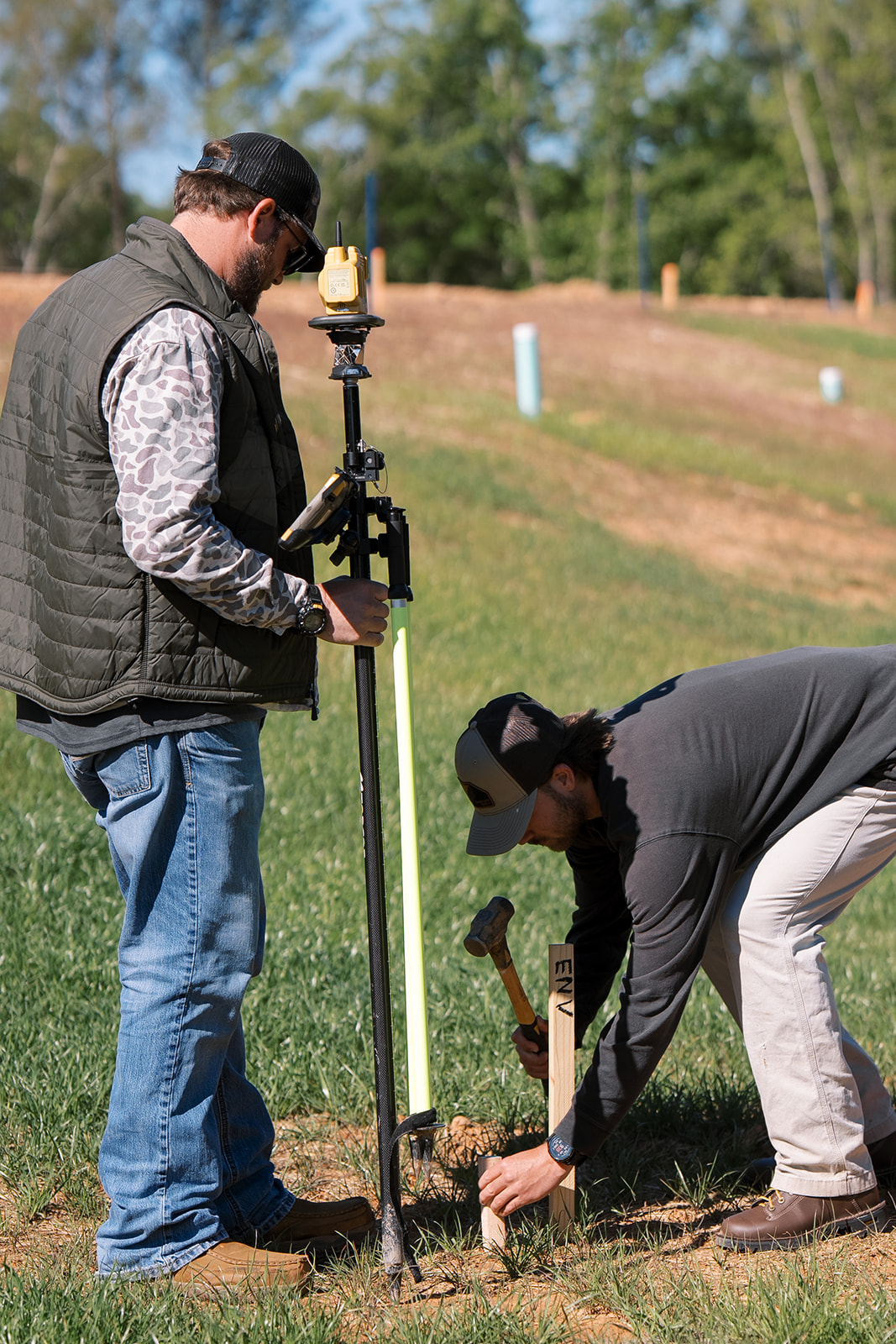
Construction staking happens before building — it translates approved plans into physical markers in the field so contractors know exactly where to grade, pour, and install. An as-built survey happens after construction to document what was actually built and verify it matches the approved plans. Both are critical for development projects. Samford Group handles both.
No — and using separate firms is one of the most common sources of delay and error in land development. When your surveyor and engineer work from different files, coordination gaps create redesigns and missed details. At Samford Group, our survey and engineering teams share a single base file, which means your project starts from a single source of truth.
Contact
Need a boundary survey, ALTA, construction staking, or platting in Auburn, Opelika, Lee County, or beyond? Tell us the site and the scope.