
Both surveys locate your property lines. The difference is everything else — and ordering the wrong one either stalls your closing or wastes thousands on scope you didn’t need.
The boundary survey: where your land begins and ends
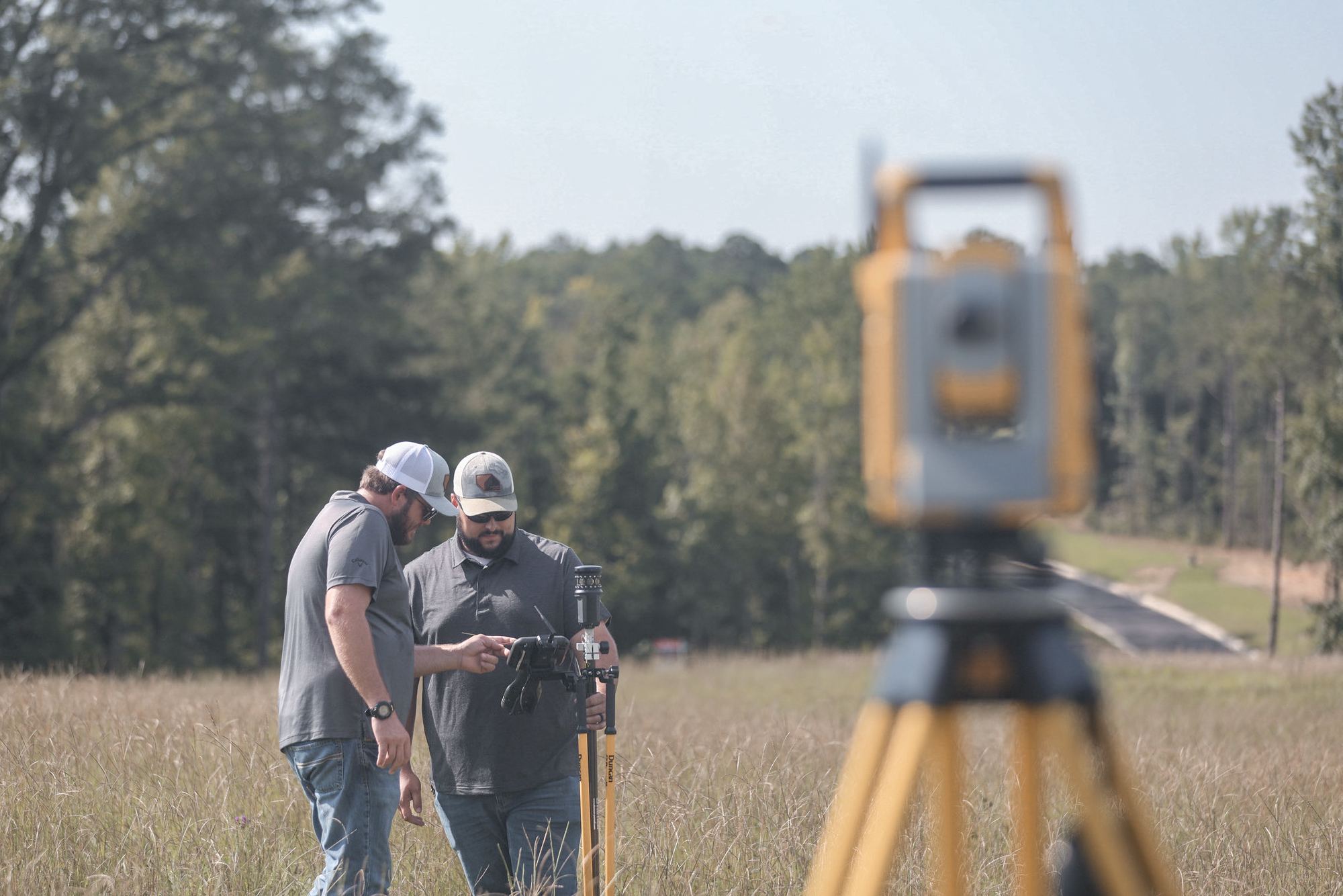
A boundary survey retraces the legal description on the ground: corners found or set, lines staked, encroachments flagged. It’s the right tool for most land purchases, fence and neighbor disputes, and as the base for design work. For a typical closing in Alabama or Georgia, a boundary survey is usually what’s actually required.
The ALTA survey: the institutional-grade version
An ALTA/NSPS survey is a boundary survey built to a national standard negotiated by title insurers and lenders — plus a menu of optional items (Table A) covering easements of record, improvements, utilities, flood zone, zoning notes, and more. If an institutional lender or national title company is in your deal — common on commercial acquisitions and development financing — they will likely require ALTA, and they’ll specify which Table A items.
How to decide in practice
- Ask your lender and title company first. If ALTA is required, it will be in the closing checklist — get the Table A list in writing.
- Buying land to develop? A boundary survey now, with topography added, often serves double duty as your design base — one mobilization instead of two.
- Timeline matters. ALTA scope means more research and more fieldwork. Build it into the contract period rather than discovering it two weeks before closing.
One team, one base file
Because our survey crews work in-house with our civil engineers, the survey you buy for closing becomes the base file for concept plans, site design, and construction staking — no translation between firms, no re-survey later. Tell us the parcel and the deal, and we’ll tell you exactly which survey you need with a firm quote within 1 business day.